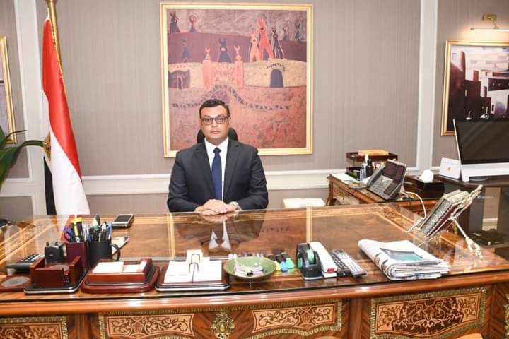
Minister of Housing, Utilities and Urban Communities, Engineer Sherif El-Sherbiny, recently conducted a review of infrastructure and road project progress within the Green Belt area of 6th of October City, encompassing approximately 10,200 acres.
El-Sherbiny underscored the Green Belt's crucial role as a pivotal development project for 6th of October City. The ongoing initiatives are strategically designed to evolve the area into a fully integrated urban community. This transformation will be achieved by fostering a comprehensive ecosystem encompassing urban, commercial, administrative, and service sectors, while simultaneously bolstering robust infrastructure development.
Engineer Mohamed Moustafa, head
of the 6th of October City Development Authority, led an on-site inspection of
the ongoing road and utility works within the Green Belt. This inspection
served to ensure strict adherence to project timelines and the maintenance of
the highest quality and safety standards
During his inspection tour,
Engineer Moustafa reviewed the progress of utility works, including roads,
water, sanitation, and irrigation networks. The Green Belt is divided into
three distinct areas: Area 1: Encompassing basins 1-16, covering approximately
4,500 acres. Area 2: Encompassing basins 17-24. Area 3: Encompassing basins
25-49.
In Area 1, a total of
approximately 236 kilometers of utility networks are being installed. This
includes: 76 km of water networks, 78 km of irrigation networks, 82 km of
sanitation and stormwater networks, including discharge lines, wave-pushing
counters below the SUMED pipeline, a main and secondary road network spanning
approximately 85 km, 5 wastewater pumping stations.
Area 2, spanning approximately
2,200 acres, is undergoing the implementation of major utilities, including: 43
km of water networks, 38 km of irrigation networks, 55 km of sanitation and
stormwater networks, A main and secondary road network spanning approximately
30 km.
Area 3, covering approximately
3,500 acres, includes the allocation of 56 acres of land from the New Urban
Communities Authority's share for the development of integrated urban,
commercial, administrative, and educational facilities.
Engineer Moustafa stressed the importance of timely project completion while adhering to the highest quality standards. He urged the project teams and implementing companies to maintain their efforts and achieve the project objectives in alignment with the region's sustainable development vision.
